The 20,758 acre Boreas Ponds Tract consists of former logging company lands that New York purchased in 2016 and opened to the public. Located between the North Hudson and Newcomb, the area is located deep in the heart of the Adirondacks. As its name implies, the 320 acre Boreas Ponds are the centerpiece of the tract. The ponds sit in a remote setting with a beautiful and unique view into the High Peaks Wilderness. From the ponds, many of the Adirondacks highest peaks are visible.
Since the state's acquisition of the land, improvements have been made to the dirt road and its possible to drive to the ponds. In winter, the roads are left unplowed, making the ponds even more remote feeling. Closed to motorized traffic in winter, the only access is by ski or snowshoe.
After reading a few accounts of winter trips to the area, a trip to the Boreas Ponds was on my short list of winter destinations in the Adirondacks. A late winter storm dumped close to two feet of snow. Another couple inches followed a few days later. With abundant snow and a promising forecast, I set out March 20th, the first day of spring.
 |
| View from Boreas Ponds |
The trip to the ponds travels over snow covered dirt roads. The skiing isn't particular technical. However, to reach the dam at the south end of the ponds requires a nearly 14 mile roundtrip on skis over ungroomed and relatively lightly traveled terrain. The distance and relative remoteness of the area keeps a lot of casual skiers away from the area.
The day called for mostly sunny skies and temps well into the upper 30sF by the afternoon. By the time I reached the trailhead, the temperature stood at comfortable 27F or so. The sky was pretty cloudy though, with the higher mountains toward the ponds appeared socked in. A few flurries fell as skied the first couple miles. A stiff wind added a chill to the air.
Unlike the much busier north side of the High Peaks Wilderness at the Adirondack Loj, this area sees much less traffic. The register near the trailhead indicated just one pair of skiers two days prior. I began skiing about 825AM on a Monday morning. Only one set of tracks set out from the trailhead. I started skiing in the existing tracks, but quickly abandoned them. The weekend snow drifted in the tracks, making for sluggish skiing. Skiing my own path required less effort.
 |
| Trailhead |
 |
| Existing ski track |
From the trailhead, the route travels mostly uphill on a gradual grade before reaching the high point of the trip about two miles from the start. Even though the skiing follows a dirt road, with snow cover, the scenery is quite pleasant as it travels through a nice hardwood forest. I crossed over a few bridges along the way. At the bridges I could truly appreciate how much snowpack covered the forest. The snow piled at least a foot above the side rails of the bridge- a solid three foot base. Eventually the trail changed direction enough that I started to use the existing ski tracks. They weren't drifted as this point and skied much easier.
 |
| Peaceful forest |
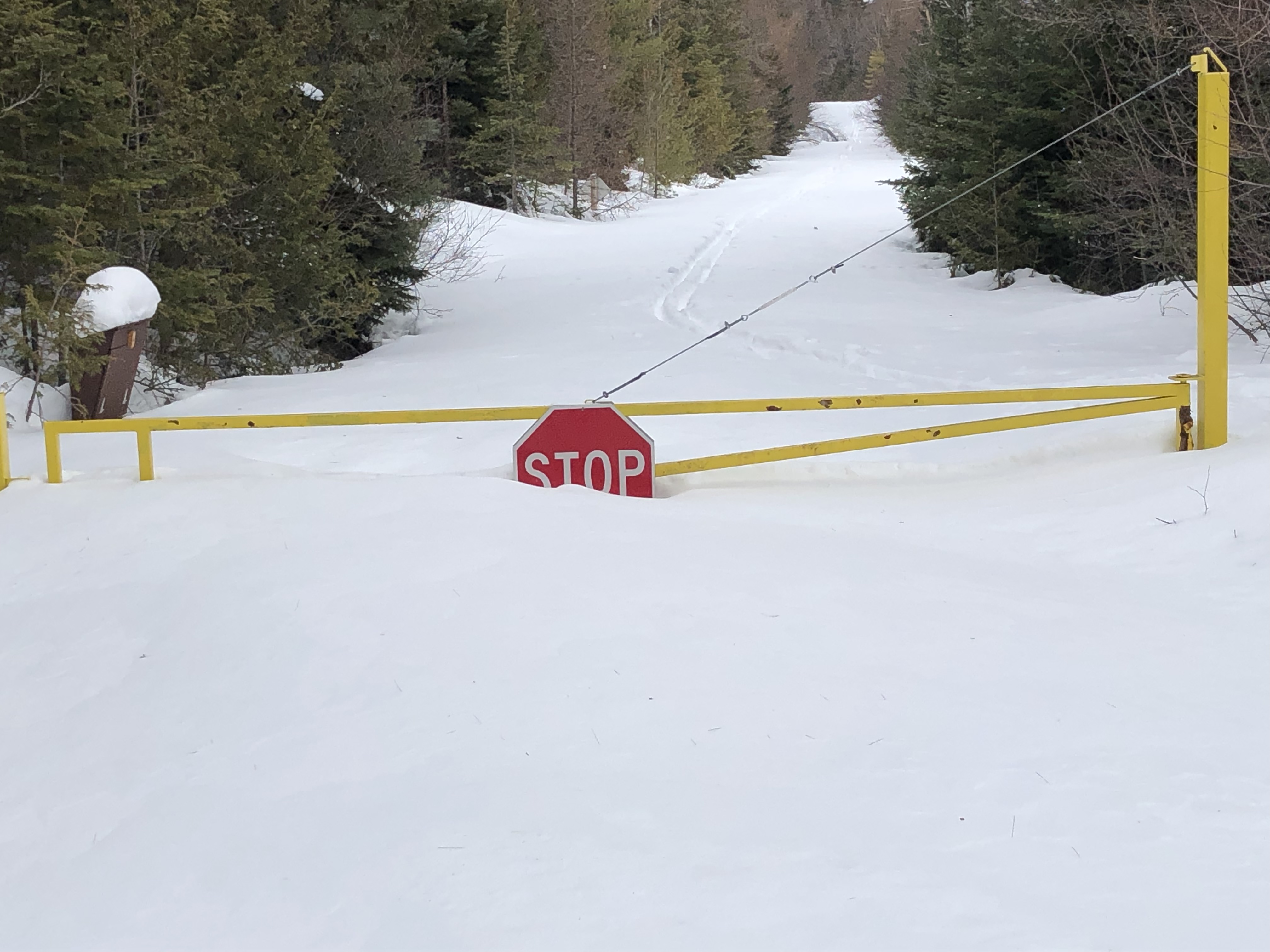
After about three miles, I passed by a gate near a summer parking area. The trail didn't change too much in elevation after the height of land. With the strong winds, I stopped a couple times to adjust layers. Occasionally I saw a few peeks of sunshine, but never very long. With no leaf cover, I could see the occasional mountain through the trees.
After about five miles, the trail descends and eventually reaches LaBier Flow at 5.9 miles, a still water section of the Boreas River. At LaBier Flow, the road crosses the river and I got my first open views of some of the surrounding mountains. The morning was mostly cloudy. By the time I got the the flow, the clouds started to break up and rise above the mountains.
 |
| LaBier Flow |
 |
| Boreas River |
A couple hundred yards past LaBier Flow, a signed junction points the way to the ponds. The route in this section traveled through a predominantly coniferous forest, a change of scenery from the mostly hardwood forest the first 5+ miles. About a mile from the flow, I reached the dam on the south end of the Boreas Ponds.
 |
| Junction near LaBier Flow |
 |
| Gate to see snow depth |
From the dam, you get your first look at the High Peaks. Gothics and Pyramid Peak dominate the view from the south end of the ponds with Haystack peeking out above the trees. While this is a pretty good view, it becomes more expansive from the ponds. I skied onto the pond around the first point and the view widened to include an unobscured view of many of the highest peaks of the Adirondacks. Although the clouds were breaking up above me, a few of the the summits were partially obscured.
 |
| The view from the ponds |
 |
| Cheney Cobble on the left, Allen Mountain on the right |
Having skied about seven miles at this point, I stopped just past the first point of land on the pond to have some lunch. Once on the pond, I no longer had the shelter of the trees to protect me from the stiff wind. I found a spot mostly out of the wind. By now the sun started to make its way out as well. With the sunshine, I was able to enjoy my break without adding too many layers. As I took by time eating and enjoying my surroundings, more of the High Peaks came out from hiding in the clouds.
 |
| North River Mountains |
 |
Allen Mountain with Skylight and Marcy
obscured by clouds |
By the time I wrapped up my break, I was in full sunshine. More blue skies surrounded the High Peaks. Although my view was pretty impressive from where I took my break, I skied further on the ponds to see if the view expanded. I skied to the north end of the islands that separate the first and second ponds. At that point, the closer terrain seemed to block some of the mountains. I turned around at that point.
 |
| Closeup of Skylight (L) and Marcy (R) |
 |
Haystack, Basin, Saddleback, Gothics, and Pyramid
left to right |
While the Adirondacks have no shortage of great vistas, the view from Boreas Ponds stand out. The area provides a unique and far sweeping prospective that looks at many of the High Peaks that are deep in the wilderness and not normally seen without obstruction. Perhaps the most striking peaks from the ponds are Gothics and its subpeak, Pyramid Peak. There snowy, slide covered faces form a rugged profile. The symmetrical, snowy cone of Haystack- the third highest peak in the Adirondacks, appears framed above the lake. Basin and Saddleback just barely poke out between Haystack and Gothics. Allen Mountain dominates the landscape in the foreground. The snowy summit of the Adirondack's forth highest summit Haystack rises over Allen's shoulder. New York's highest peak, Mount Marcy rises just beyond Skylight.
 |
| Closeup of Gothics and Pyramid |
 |
| Skylight, Marcy, and Haystack left to right |
The North River Mountains, with Rist Mountain and Cheney Cobble make up the view to the west. In the distance, the snowy summit- I think Iroquois Peak, rises over the shoulder of Mount Redfield. East of Gothics- Sawteeth, Colden, and Blake can be seen. Boreas Mountain rises above the trees east of the ponds.
I returned back to the dam after enjoying the vista from the islands. The temperature rose from the full sunshine causing the snow to stick to my skis. A lean to stands not far from the dam. I decided to ski to lean to to put add some wax to prevent further snow from sticking. The day was supposed to reach the upper 30sF. The sticky snow would only get worse without wax.
 |
| Following my tracks toward the dam |
 |
| Boreas River below the dam |
I took another short breather at the shelter to wax my skis for the nearly seven mile ski back to the trailhead. I was happy I made the short side trip to the shelter. This lean to was built in the last couple years since the land in the area opened to the public. This has to be one of the nicest shelters in the Adirondacks. The long winters and damp forests leave many of the shelters in the Adirondacks looking pretty rundown. The lean to stands in a clearing with pretty good views.
 |
| Still lots of snow on the lean to |
 |
| View inside the new shelter |
 |
Old cabin along the trail, notice the snow
depth at front door and windows |
The coat of wax improved the skiing greatly. On the return, I could ski my tracks back to the trailhead. With the wax and nicely broken track, the skiing went much quicker. I enjoyed the sunshine and having my back to the wind as I skied back to the trailhead.
 |
| Bridge over LaBier Flow |
 |
| Enjoying the hardwood forests |
Even though the best views were behind me, I still enjoyed skiing back on the road. I still had a few views of the surrounding mountains through the trees. The warming temperatures and bright sunshine actually made it feel more like the start of spring. I always enjoy passing through a hardwood forests in snowy conditions, and this trip had no shortage of snowy, hardwood forests
 |
Wolf Pond Mountain peeking out
through the trees |
 |
| Fresh pileated woodpecker marks |
The final couple miles went by quickly. Although the skiing wasn't super fast as the sun softened the snow, the final two miles traveled mostly downhill. I reached the trailhead around 215PM.
 |
| Mountains visible to the south |
 |
| Large glacial erratic along the road |
 |
| The view as I approached the trailhead |
I really enjoyed this trip. The clouds parted at just the right time to give me the mountain vista I was hoping for. The beautiful, sunny weather during the second half of the trip felt good after the snowy past month. Chances are this was my last time cross country skiing in the backcountry for the season and I was happy to have such a great trip to end my nordic season.
 |
| Skylight, Marcy, and Haystack |
The trip from the trailhead to the dam at the base of the ponds travels 6.8 miles one way. I skied further onto the ponds and made a short side trip to the lean-to. By the time all was said and done, I skied about 15 miles. Despite the distance, the skiing never gets technical traveling on the snow covered dirt road. Even a relative beginner could handle the terrain if you have the endurance to ski 14-15 miles. I don't know how often the area sees traffic after a storm and the area may not always be broken out immediately after a storm. The navigation is pretty straightforward. Signs mark junctions requiring a turn to stay on course.
Although my last trip to Avalanche Pass and Lake Colden traveled deep into the High Peaks Wilderness, this trip feels more remote. The Avalanche Pass trip sees a lot of traffic compared to the Boreas Ponds. I never seemed too far from other travelers enroute to Avalanche Pass. The lack of traffic heading to Boreas Ponds gives the trip a wild feel despite traveling over a dirt road. Help may be harder to reach if you ran into trouble at the ponds versus Lake Colden or Avalanche Pass.
 |
| One more shot from the ponds |
I highly recommend making the trip to Boreas Ponds in winter. The unique views of the High Peaks with a snowy landscape are worth the effort. If the ice is safe, skiing on the ponds really helps you capture the best look at the surrounding mountains.
If you enjoyed this post, check out and "LIKE" Tomcat's Outdoor Adventures on
Facebook where I post photos more often and revisit past adventures.


No comments:
Post a Comment